- Archery
- ATV & Off-highway Vehicles
- Biking (on park roads)
- Biking (on trails)
- Binocular Checkout
- Birdwatching
- Boating
- Canoeing
- Disc Golf
- Disc Golf Checkout
- Fishing
- Fishing Pole Checkout
- Geocaching
- GPS Unit Checkout
- Hiking
- Historical Interest
- Horseshoe Checkout
- Horseshoes
- Hunting
- Interpretive Signs
- Kayaking
- Lawn Game Checkout
- Life Jacket Checkout
- Paddleboarding
- Picnicking
- Stargazing
- Swimming
- Volleyball
- Volleyball Checkout
- Walking (on park roads)
- Wildlife Watching
Oahe Downstream Recreation Area

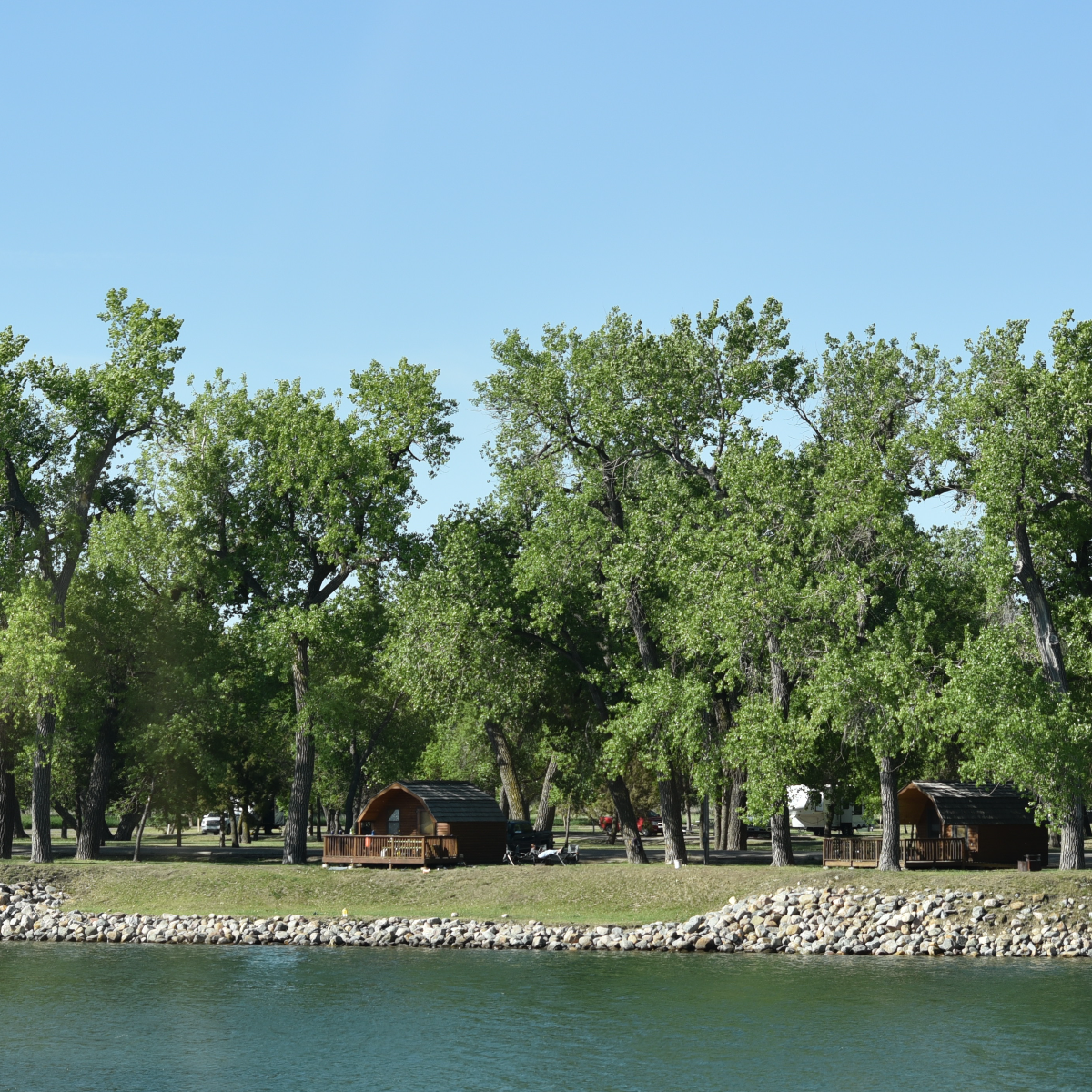
The park's three campgrounds give visitors a variety of recreational opportunities, from boating to hiking to disc golf. The Corps of Engineers began building the Oahe Dam in 1948 and in 1962 started generating electricity. It's one of the largest constructed reservoirs in the United States, measuring 231 miles connecting the capital cities of South Dakota and North Dakota.
Oahe Downstream is one of the South Dakota state parks that offers the opportunity for visitors to see the majestic bald eagle. During winter, bird watchers can view eagles that roost in the treetops below the dam. They typically can be viewed perching within 50 feet of the riverbank in tall cottonwood trees.
Everyone is encouraged to visit the interactive South Dakota prairie butterfly garden located near the main entrance at Oahe Downstream. Find 17 species of native prairie plants, identify some of common butterflies, and learn something new about butterflies of South Dakota.
Activities
Fees
- Daily: $10 for residents $15 for nonresidents
- Annual: $40 for residents
$60 for nonresidents
- Campsites - electrical: $30 per night
- Camping Cabins: $60 per night
- Modern Cabins: $120-$150 per night
- Group Lodge: $150 per night
Park Specs
Open: Year-round. Campgrounds 1 and 2 closed to camping Nov. 15 through the last Friday of March for bald eagle winter roosting. Day-use area and campground 3 remain open year-round. Between Oct. 1 and April 30, water systems may be closed.
Park Size: 3 campgrounds with 205 campsites, 8 camping cabins, 4 modern cabins, and group lodge
Directions: 5 miles north of Fort Pierre on Highway 1806, on the south side of Oahe Dam
Nearest Town: Pierre
Make Reservations
Make reservation online or call 1.800.710.2267.
Maps
Contact Info
20439 Marina Loop Road
Fort Pierre, SD 57532
605.223.7722
Email: Oahe@state.sd.us
Amenities
- ADA/Accessible Features
- Archery Range
- Archery Trail(s)
- Biking Trail(s)
- Boat Ramp(s)
- Campground(s)
- Camping Cabin(s)
- Drinking Water
- Dump Station
- Electrical Campsite(s)
- Fish Cleaning Station(s)
- Fishing Pier(s)
- Flush Toilets
- Group Picnic Shelter(s)
- Hiking Trail(s)
- Historical Site(s)
- Modern Lodging
- Off-highway Vehicle Area
- Paved Trail(s)
- Picnic Tables
- Playground(s)
- Pollinator Plot(s)
- Self-serve Entrance Kiosk(s)
- Shooting Range
- Shore Fishing Access
- Showers
- Ski Beach(es)
- Swim Beach(es)
- TRACK Trail(s)
- Vault Toilets (open year-round)
- Visitor Center(s)
Modern Lodging
The modern lodging accommodations at Oahe Downstream offer increased comforts in an outdoor setting any time of the year.
ADA / Accessible
- Boat Ramp Access
- Camping Cabin(s)
- Campsite(s)
- Fish Cleaning Station(s)
- Fishing Access
- Fishing Pier(s)
- Flush Toilets
- Group Lodge
- Modern Cabin(s)
- Paved Trail(s)
- Picnic Tables
- Shooting Range(s)
- Showers
- Vault Toilets (open year-round)
- Visitor Center(s)
GPS Coordinates
Longitude: -100.3998

