- Basketball
- Basketball Checkout
- Biking (on park roads)
- Birdwatching
- Boating
- Canoe Rental
- Canoeing
- Fishing
- Fishing Pole Checkout
- Geocaching
- Hiking
- Horseshoes
- Kayak Rental
- Kayaking
- Lawn Game Checkout
- Life Jacket Checkout
- Paddleboard Rental
- Paddleboarding
- Picnicking
- Sailing
- Stargazing
- Swimming
- Volleyball
- Volleyball Checkout
- Walking (on park roads)
- Wildlife Watching
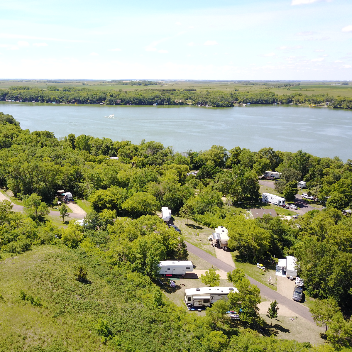
State Parks
Photo © Allie Ellingson