- Basketball
- Basketball Checkout
- Biking (on park roads)
- Biking (on trails)
- Birdwatching
- Canoeing
- Disc Golf
- Fishing
- Hiking
- Horseshoe Checkout
- Horseshoes
- Kayaking
- Lawn Game Checkout
- Paddleboarding
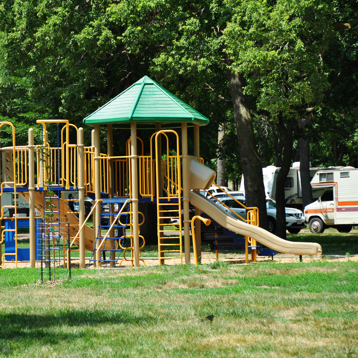
- Picnicking
- Soccer
- Soccer Checkout
- Softball
- Swimming
- Volleyball
- Volleyball Checkout
- Walking (on park roads)
State Parks
Photo © SD Tourism